If you’ve never seen a river appear out of nowhere — fully formed, ice-cold, and impossibly clear — then you haven’t met the Metolius. Just 14 miles northwest of Sisters, the Metolius River springs from the base of Black Butte as one of the largest spring-fed rivers in the entire country, pushing out roughly 50,000 gallons of crystal-clear water every single minute. No trickle, no slow build. Just a forest floor, then a river.
For visitors and locals alike, the Metolius River corridor is one of the most peaceful and awe-inspiring stretches of landscape in all of Central Oregon. Whether you come to fish, hike, camp, or simply sit on a rock and watch the water do its thing, this is a place that earns every superlative people throw at it.
What Makes the Metolius River So Special?
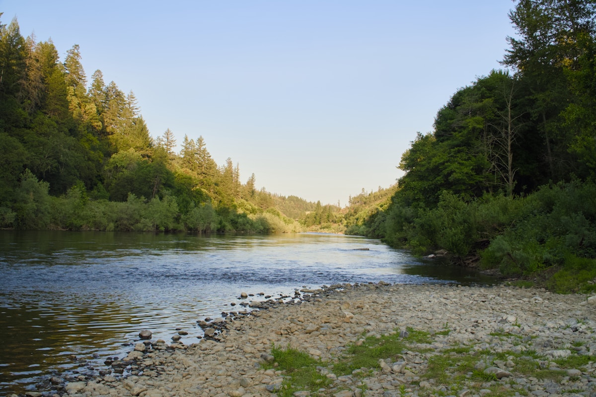
The Metolius is fed entirely by underground springs filtering through ancient volcanic rock, which means the water temperature holds steady at around 46–48°F year-round — cold enough to keep native bull trout and redside rainbow trout thriving, and clear enough to see the river bottom from almost any vantage point. The river runs 29 miles through ponderosa pine and old-growth forest before joining the Deschutes River at Lake Billy Chinook.
Because the Metolius is a designated Wild and Scenic River, it’s protected from development and damming. That means the corridor today looks much the way it did a century ago: towering ponderosa pines, osprey circling overhead, and the kind of quiet that makes you forget your phone exists.
Where Does the Metolius River Start?
The Head of the Metolius is one of those natural phenomena that stops people mid-sentence. A short, paved 0.3-mile trail from the parking area off Camp Sherman Road (Forest Road 14) leads you to a viewing platform where you can watch the river literally emerge from the ground at the base of Black Butte. One moment it’s dry earth and pine needles. The next, it’s a rushing river.
The observation site is open year-round, wheelchair accessible, and free. It takes about 10 minutes to walk from the car, and every single person we’ve sent here has texted us a photo within the hour. It’s that kind of place.
What Can You Do Along the Metolius River?
The Metolius isn’t a thrill-ride river — no whitewater rafting or jet boats here. Instead, it’s a place built for the kind of outdoor experiences that slow you down and sharpen your senses. Here’s what draws people in:
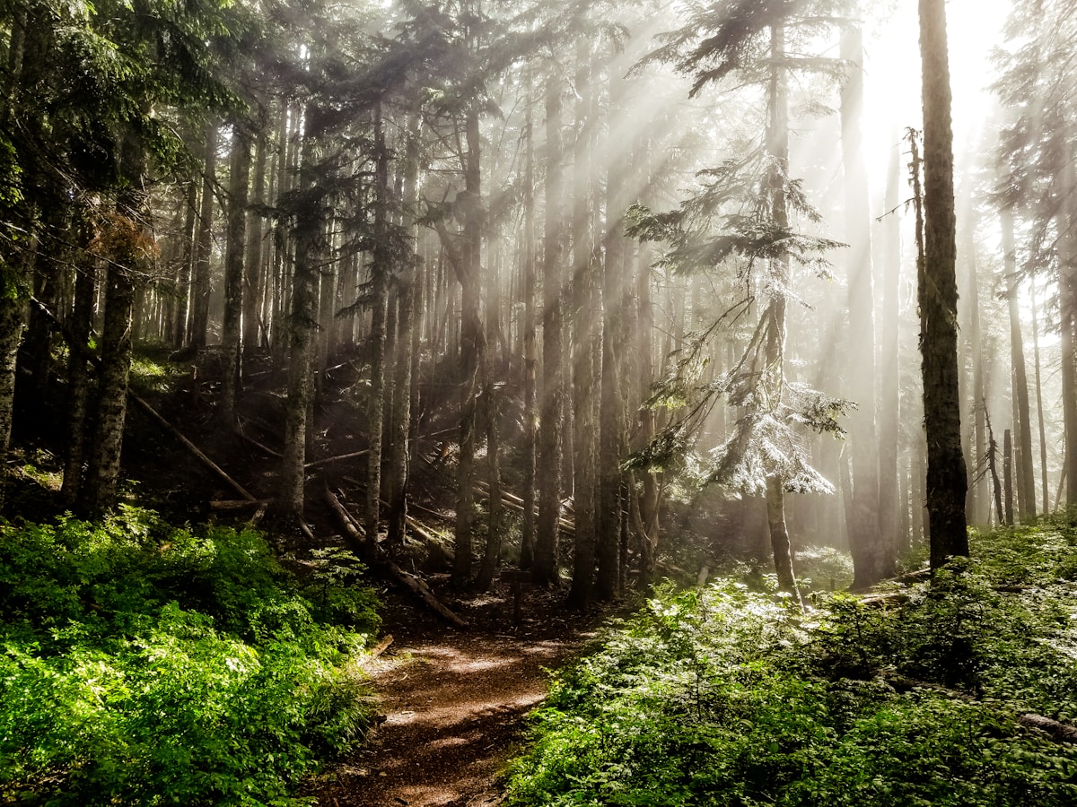
Hiking the Metolius River Trail. The West Metolius River Trail is a 5.5-mile out-and-back from Lower Canyon Creek Campground to Wizard Falls Fish Hatchery. The trail follows the river through wildflower-dotted meadows and shaded forest, crossing feeder streams and offering constant views of the emerald-green water. It’s gentle enough for families and stunning enough for seasoned hikers who thought they’d seen everything Oregon has to offer.
Fly Fishing. The Metolius is a blue-ribbon trout stream and one of the most respected fly-fishing rivers in the Pacific Northwest. Native redside rainbow trout, bull trout, and mountain whitefish all call this water home. A few things to know: the stretch above Bridge 99 is fly-fishing only, and barbless hooks are required throughout. Bull trout are catch-and-release only. The Camp Sherman Store offers gear rentals and private instruction — an excellent option if you’re new to fly fishing or new to this particular river.
Wildlife Watching. Bald eagles, osprey, great blue herons, river otters, and mule deer are all regulars along the Metolius corridor. In spring and summer, keep your eyes on the snags above the river — osprey nest there and put on a show every time they dive for trout.
Visiting Wizard Falls Fish Hatchery. Run by the Oregon Department of Fish and Wildlife, this small hatchery raises Atlantic salmon, brook trout, and rainbow trout. It’s free to visit, family-friendly, and a great midpoint stop on a day hike. Kids especially love the outdoor ponds where fish swirl just below the surface.
Where Should You Camp Along the Metolius?
The Metolius River corridor has some of the best campgrounds in all of Deschutes National Forest — and several of them put you within steps of the water. Here are the top picks:
Camp Sherman Campground. Fifteen sites nestled in ponderosa pines right along the river. Close enough to the Camp Sherman Store for supplies, far enough from the road to feel remote. Reservable through Recreation.gov from late May through September.
Smiling River Campground. The largest option with 36 sites, several of which sit directly on the riverbank. Great for families and groups. Fire pits, picnic tables, vault toilets — everything you need, nothing you don’t.
Lower Bridge Campground. Open year-round with a dozen tent sites along the river. This is the quieter option, popular with anglers who want early-morning access to the water without a crowd.
Riverside Campground. True to its name — the sites here are as close to the river as you’ll get without sleeping in a drift boat. It fills fast in summer, so book early.
Pro tip: campground reservations along the Metolius open six months in advance, and peak-summer weekends (late June through August) book out quickly. If you’re planning a July or August trip, set a calendar reminder for your six-month booking window.
When Is the Best Time to Visit the Metolius River?
The Metolius is accessible year-round, but each season offers something different:
Summer (June–September) is the most popular window. Campgrounds are open, trails are snow-free, wildflowers line the riverbanks, and daytime temps in the mid-70s to mid-80s make for perfect hiking and fishing conditions. The tradeoff: more company, especially on weekends.
Fall (October–November) brings golden larches, thinner crowds, and excellent fishing as water temps hold steady while air cools. Campground availability is easier, and the forest takes on a glow that photographers live for.
Winter (December–March) is quiet, cold, and beautiful. The river doesn’t freeze — it’s spring-fed, remember — so the contrast of rushing turquoise water against snow-dusted pines is something you won’t forget. Lower Bridge Campground stays open, and the Head of the Metolius trail is accessible with appropriate footwear.
Spring (April–May) is wildflower season. Lupine, paintbrush, and balsamroot pop up along the trails, and osprey return to their nests above the river. Some campgrounds may still be closed, so check Recreation.gov before planning an overnight.
How Do You Get to the Metolius River from Sisters?
From downtown Sisters, head northwest on US-20 for about 10 miles, then turn right onto Camp Sherman Road (Forest Road 14). The Head of the Metolius parking area is about 4 miles down the road. Camp Sherman and the riverside campgrounds are another few miles beyond that. Total drive time from Sisters: about 20 minutes. From Bend, it’s roughly 45 minutes via US-20 West.
The road is paved and well-maintained, though it narrows in spots as you get deeper into the corridor. No high-clearance vehicle required — your family sedan will do just fine.
Metolius River: Common Questions
Click a question to reveal the answer.
+Can you swim in the Metolius River?
+Do I need a permit to visit the Metolius River?
+Can you kayak or canoe on the Metolius River?
+Is the Metolius River kid-friendly?
+Where can I eat or get supplies near the Metolius River?
+Are dogs allowed along the Metolius River?

About Chance & Tianna
Team Homeward Found · Realty One Group Discovery
Chance and Tianna Jackson are a husband-and-wife real estate team serving Bend, Sunriver, Three Rivers, La Pine, Redmond, Prineville, Tumalo, and Sisters. Between military roots, marketing expertise, and years of investing in Central Oregon, they guide retirees, families, Veterans, and investors through buying, selling, and relocating with a level of care that only locals can offer.
Chance Jackson
Oregon Realtor® · Top Producer
(503) 816-2780
Mr.ChanceJackson@gmail.com
MLS #201227270
Tianna Waite-Jackson
Oregon Realtor®
(503) 207-8636
Ms.TiannaJackson@gmail.com
MLS #2012482478
Leave a Reply